Firefly Alpha | INCUS
Programma
Pad
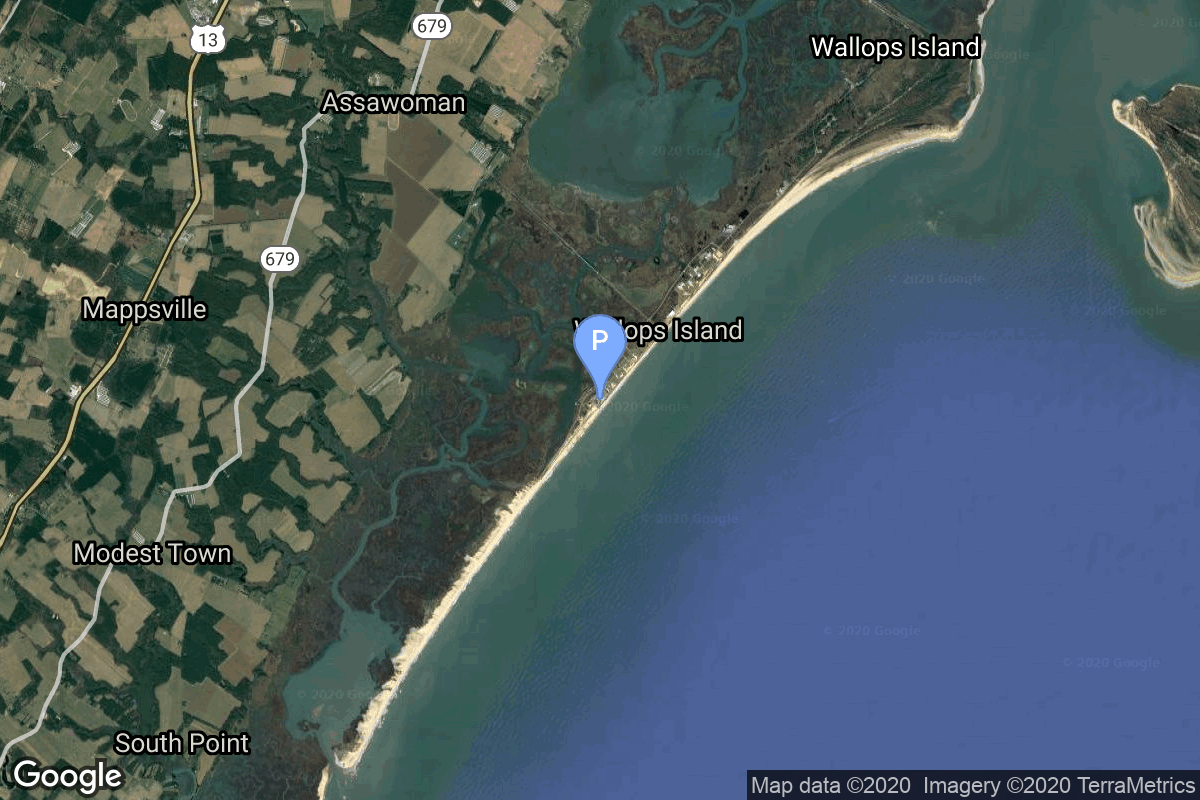
Wallops Flight Facility is a rocket launch site on Wallops Island on the Eastern Shore of Virginia, United States, just east of the Delmarva Peninsula and north-northeast of Norfolk. The facility is operated by the Goddard Space Flight Center in Greenbelt, Maryland, and primarily serves to support science and exploration missions for NASA and other federal agencies. WFF includes an extensively instrumented range to support launches of more than a dozen types of sounding rockets; small expendable suborbital and orbital rockets; high-altitude balloon flights carrying scientific instruments for atmospheric and astronomical research; and, using its Research Airport, flight tests of aeronautical research aircraft, including uncrewed aerial vehicles.
Rocket
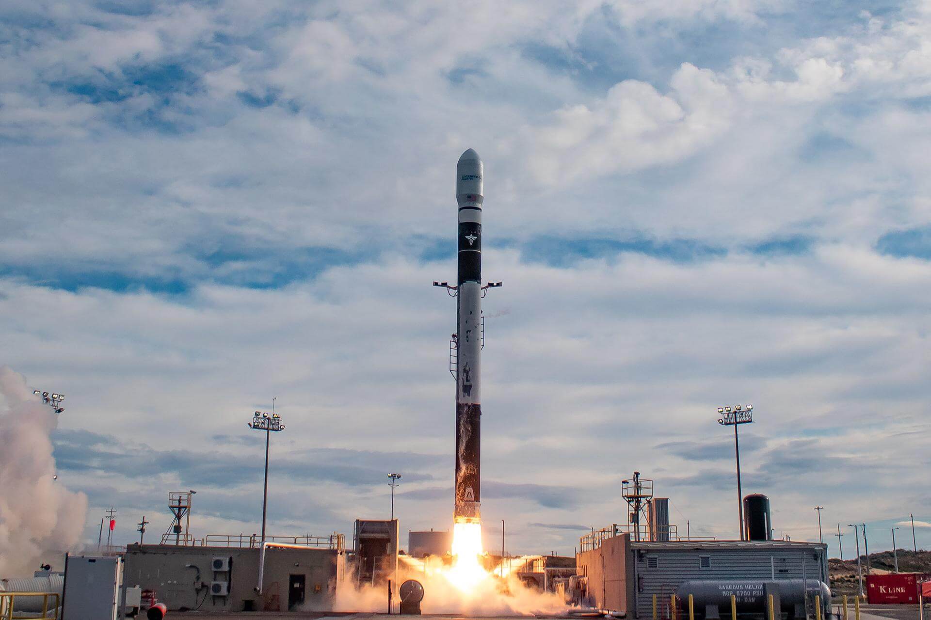
Firefly Alpha (Firefly α) is a two-stage orbital expendable launch vehicle developed by the American aerospace company Firefly Aerospace to cover the commercial small satellite launch market. Alpha is intended to provide launch options for both full vehicle and ride share customers.
Full Name: Firefly Alpha
Maiden Flight: 2021-09-03
Total Launch Count: 6
Successful Launches: 3
Failed Launches: 3
Mission
Mission Name: INCUS
Type: Earth Science
Description: The Investigation of Convective Updrafts (INCUS) is a NASA Earth science mission led by Colorado State University that will investigate the behavior of tropical storms in order to better represent these storms in weather and climate models. It consists of 3 SmallSats flying in tight coordination to study why convective storms, heavy precipitation, and clouds occur exactly when and where they form. Each satellite will have a high frequency precipitation radar that observes rapid changes in convective cloud depth and intensities. 1 of the 3 satellites also will carry a microwave radiometer to provide the spatial content of the larger scale weather observed by the radars. By flying so closely together, the satellites will use the slight differences in when they make observations to apply a novel time-differencing approach to estimate the vertical transport of convective mass.
Orbit: Low Earth Orbit
Updates

Cosmic_Penguin
2025-03-05T01:05:00ZAdded launch.
Cosmic_Penguin
2025-03-05T07:35:00ZNET October 2026.